
The 3D Cloud Geometry Simulator combines satellite and ground-based camera views to recreate how clouds appear from different angles and determine their precise position in the atmosphere. It provides a controlled environment to develop and validate 3D cloud localization and shadow prediction techniques, offering valuable insights for improving solar irradiance modeling and photovoltaic power forecasting.
PhD Research
3D Cloud Geometry Simulator
Controlled simulator of 3D cloud scenes, generating synthetic satellite and ground-camera views to validate voxel-based reconstruction, cloud localization, and shadow prediction for solar forecasting.
- 2017
- Mines Paris - PSL

Article content
Tools & Technologies

Skills Applied
Our Approach
3D Scene Generation
Cloud Modeling
Clouds are represented as simple 3D volumes made of small cubes (voxels). This allows the creation of realistic scenes, from scattered cumulus to uniform stratus layers.
Synthetic Imaging
Each virtual cloud scene is viewed simultaneously by a simulated satellite and ground camera. The result is a pair of synthetic images that mimic real observations with controlled conditions.
Skills Applied
Tools & Technologies
3D Reconstruction
Geometric Projection
Cloud pixels detected in each image are projected into 3D space based on the geometry of both sensors.
Volume Intersection
The overlap between satellite and ground projections reveals the most probable cloud positions in three dimensions.
Skills Applied
Tools & Technologies
Evaluation
Accuracy Assessment
The simulator compares the reconstructed clouds with their true positions to measure spatial precision.
Shadow Validation
It also checks how accurately the estimated cloud shadows align with the true ones on the ground.
Skills Applied
Tools & Technologies
Related Projects
R&DEDF · Paris
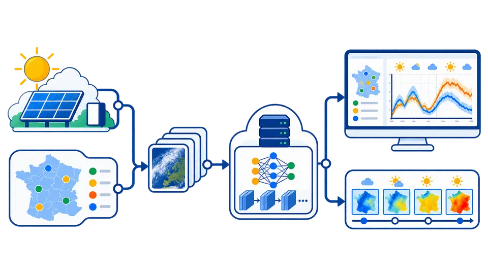
Regional Solar Power Forecasting with Deep Learning
Spatiotemporal forecasting of regional photovoltaic production from Meteosat image sequences using a ConvLSTM model trained and evaluated against measured production and a persistence baseline.
PhD Research2017Mines Paris - PSL
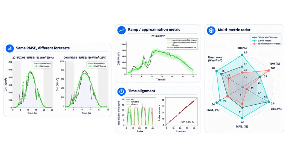
Forecast Evaluation Metrics - Scientific Paper
Scientific framework for evaluating solar forecasts beyond average error metrics, using Temporal Distortion Mix and a ramp metric to assess timing errors and rapid irradiance variations.
PhD Research2018Mines Paris - PSL
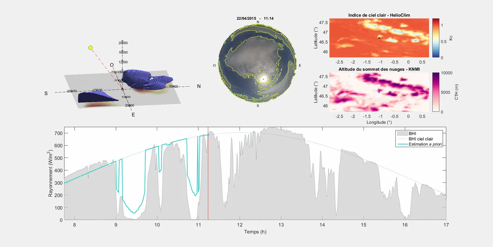
Synergy of Ground and Satellite Data for Solar Forecasting
Fusion of ground-based sky-camera and geostationary satellite imagery to reconstruct cloud geometry and forecast solar irradiance and cloud shadows from 10 minutes to several hours ahead.